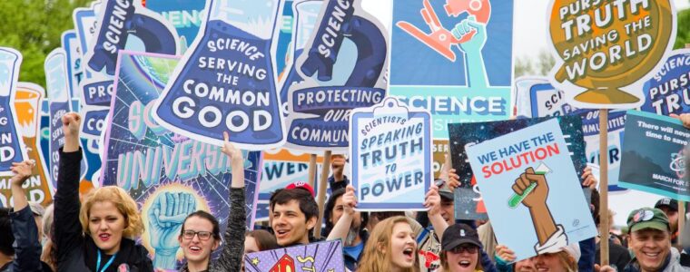
Training: Creating Shiny applications with R

BIOS² is hosting a training session about creating Shiny applications with R!. This online training will be led by Dr Andrew MacDonald (UdeS), on June 22 and 23, 2021!

This practical training will cover the basics of Shiny app development. You’ll learn the principles of reactive programming, how to create interactive options and displays for your users, and how to layout and style your Shiny app. 

Training: Point-count data analysis

BIOS² is hosting a training workshop about analysis of point-count data in the presence of variable survey methodologies and detection error. This online training will be led by Dr. Péter Sólymos (University of Alberta), starting on March 16, 2021.

This training workshop is aimed towards researchers analyzing field observations, who are often faced by data heterogeneities due to field sampling protocols changing from one project to another, or through time over the lifespan of projects, or trying to combine ‘legacy’ data sets with new data collected by recording units.

Training: Introduction to EDI concepts in a scientific context

In 2021, we will be holding a series of training and reflection activities on equity, diversity and inclusion issues. Our goal is to develop an EDI action plan for the program in order to consolidate a more inclusive, respectful and open environment.

A first training activity will take place on January 22, 2021. It is a short introduction to EDI concepts in a university context.

Training: Spatial statistics in ecology

BIOS² is hosting a training session about statistical analysis of spatial data in ecology. This online training will be led by Pr. Philippe Marchand (UQAT), starting January on 11, 2021.

The training will cover three types of spatial statistical analyses and their applications to ecology: (1) point pattern analysis to study the distribution of individuals or events in space; (2) geostatistical models to represent the spatial correlation of variables sampled at geolocated points; and (3) areal data models, which apply to measurements taken on areas in space and model spatial relationships as networks of neighbouring regions.