
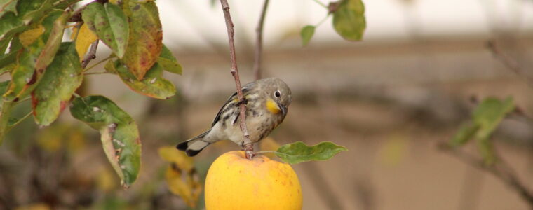
In a previous post, we briefly discussed our internship experience with GEO BON, in which we developed a forecasting model of local contributions to beta diversity (LCBD) at the regional scale, using communities of warblers species in Quebec and Colombia as a case study. The first part of our endeavor was getting access to data. As typical grad students in quantitative ecology, we used data mostly openly available on the internet. As mentioned in the previous post, for species occurrence, we used data from the eBird database, while environmental and land-use data were obtained from the CHELSA database and the Oak Ridge National Laboratory Distributed Active Archive Center (ORNL DAAC), respectively. While these datasets are openly available, the steps required to actually use them and the digital space they occupy could represent a challenge for someone unfamiliar with such a task.
Read More “Forecasting biodiversity: A matter of data availability”
